
We had consulted the GPS when we started out and didn't like her directions but for some reason we decided to let her take us home. We found the "unnamed road"-top pic-and followed it for 17 miles. We then took the left on Cammilla-though it had no sign-and followed the narrow dirt raod for about three of the 6.8 miles when it turned into a dried up lakebed. We followed what we thought was the right track--there were many from the kids-through streams and over small hills until we found another dirt road. We figured we were on the right track because we could see the snow covered mountain that was in front of Terrible's and we were starting to see lights.
 Soon we were seeing lights like there were at Terrible's Casino and an American flag. When we got to the main road we discovered that it was not Terrible's Lakeside Casino and Campground but Sherie's Ranch with the Chicken Ranch next door.
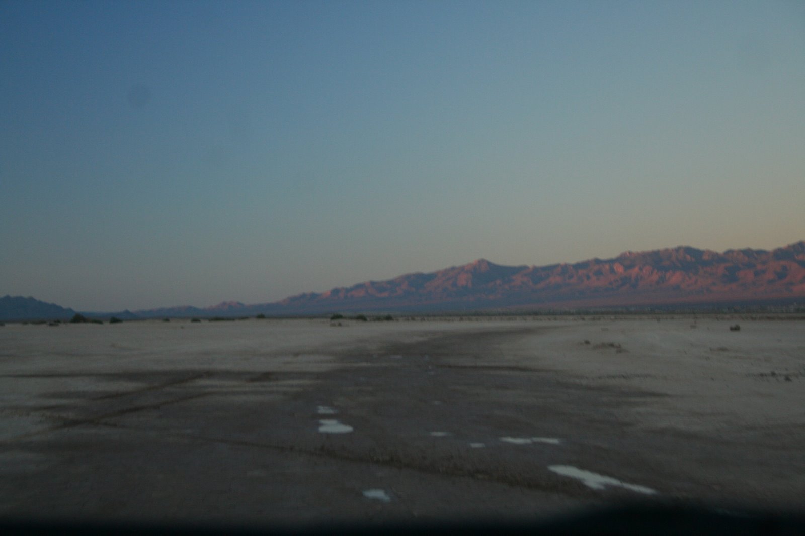
What made it even funnier was that I had stopped at the local Post Office on Homestead Rd. and had asked if Homestead continued east to Rt. 160 and the lady had said with a kind of smirk "No, it's a deadend."


